
Understanding Location Software: Its Use, Development, and ImportanceIn today's digital age, location software plays a crucial role in our everyday lives. From finding the nearest restaurant to tracking the location of a delivery, location software has become an essential tool for businesses and individuals alike. But what exactly is location software, and why is it so important?
In this blog post, we will delve into the world of location software, understanding its use, development, and importance. We will explore the reasons why location software is necessary in various industries, the common uses of this software, and the benefits it brings to businesses. Additionally, we will take a closer look at how location software works, the technology behind it, and the processes involved in gathering and processing location data.
If you've ever wondered how location software is developed, we've got you covered. We will discuss the required skills and knowledge for developing location software, as well as the software development tools that are commonly used in this field. Furthermore, we will address the challenges that developers face when creating location software and how they overcome them.
Choosing the right location software for your specific needs can be a daunting task. That's why we will provide you with valuable insights on factors to consider when selecting location software. We will also review some of the top location software available in the market and discuss how you can customize your own software to meet your unique requirements.
Whether you're a business owner looking to enhance your customer experience or an individual seeking convenience in everyday tasks, understanding location software is essential. Join us as we delve into the world of location software and discover the power and potential it holds in our modern society.
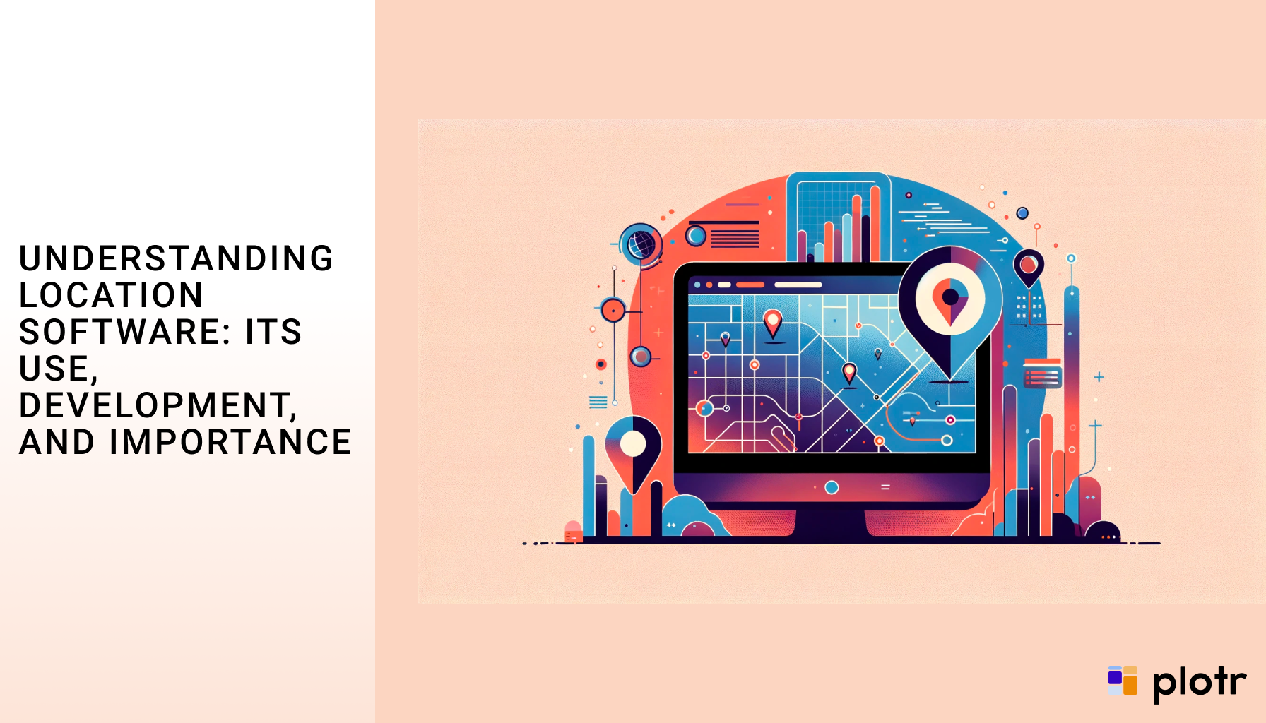
Introduction to Location Software
Location software has revolutionized the way we navigate and interact with the world around us. This section will provide a comprehensive introduction to what location software is and how it has become an integral part of our daily lives.
What is Location Software?
Location software, also known as geolocation software or GPS software, is a technology that utilizes various tools and algorithms to determine the precise geographical location of a device or individual. It combines the power of satellite-based global positioning systems (GPS), wireless networks, and mapping data to provide accurate and real-time location information.
Evolution of Location Software
The development of location software can be traced back to the introduction of GPS technology in the 1970s. Initially used for military purposes, GPS became accessible to the general public in the 1990s, primarily through handheld navigation devices. Over time, advancements in technology and the widespread adoption of smartphones have made location software more accessible and ubiquitous.
Key Components of Location Software
Location software consists of several key components that work together to provide accurate and reliable location data. These components include:
- Global Positioning System (GPS): GPS is a satellite-based navigation system that provides precise geographic coordinates. It relies on a network of satellites orbiting the Earth to determine the location of a device or individual.
- Wireless Networks: Location software can also utilize wireless networks, such as Wi-Fi or cellular networks, to determine the location of a device. By triangulating signals from nearby network towers, location software can estimate the device's position.
- Mapping Data: Location software relies on extensive mapping data, including street maps, landmarks, and points of interest. This data is constantly updated to ensure accurate and up-to-date location information.
Applications of Location Software
Location software has a wide range of applications across various industries and sectors. Some common applications include:
- Navigation and Mapping: Location software enables turn-by-turn navigation, helping users find the best routes and directions to their desired destination. It also provides real-time traffic updates, alternative routes, and points of interest along the way.
- Location-based Services: Businesses use location software to offer personalized services based on the user's location. This includes targeted advertising, location-based recommendations, and proximity-based notifications.
- Fleet Management: Location software plays a crucial role in fleet management systems by tracking the location of vehicles in real-time. It allows businesses to optimize routes, monitor driver behavior, and improve overall efficiency.
- Emergency Services: Location software assists emergency services in quickly locating individuals in distress. It enables emergency responders to reach the scene faster and provide timely assistance.
- Geotagging and Social Media: Location software enables users to geotag their photos, videos, and social media posts, allowing others to see where they were taken. This enhances the sharing and discovery of content based on location.
Understanding the basics of location software sets the foundation for exploring its importance and various use cases. In the next section, we will dive deeper into why location software is necessary in our modern society.
The Importance and Uses of Location Software
Location software has become increasingly important in our interconnected world, offering a multitude of uses across various industries. In this section, we will explore the reasons why location software is necessary and its common applications in today's society.
Why Location Software is Necessary
- Enhanced Navigation and Directions: Location software provides accurate and real-time navigation, helping individuals and businesses navigate unfamiliar areas efficiently. It offers turn-by-turn directions, alternative routes, and up-to-date traffic information, resulting in time and fuel savings.
- Improved Customer Experience: Businesses can leverage location software to enhance customer experience. For example, retail stores can send personalized offers and promotions to customers when they are close to their stores, increasing foot traffic and engagement.
- Efficient Resource Allocation: Location software allows businesses to optimize their operations by tracking the location of assets, vehicles, and personnel. This enables efficient resource allocation, route planning, and fleet management, leading to improved productivity and cost savings.
- Emergency Services and Public Safety: Location software plays a crucial role in emergency services, enabling quick and accurate identification of the caller's location during distress calls. It helps emergency responders reach the scene faster, potentially saving lives.
- Geographical Data Analysis: Location software enables businesses to analyze and visualize geographical data. This can help identify patterns, trends, and opportunities for targeted marketing, site selection, and resource allocation.
Common Uses of Location Software
- Transportation and Logistics: Location software is extensively used in the transportation and logistics industry for route optimization, tracking shipments, and managing fleets. It enables businesses to streamline operations, reduce costs, and improve overall efficiency.
- E-commerce and Delivery Services: Location software is vital for e-commerce platforms and delivery services. It allows customers to track their orders in real-time, provides accurate delivery estimates, and enables efficient last-mile delivery.
- Travel and Tourism: Location software has transformed the travel and tourism industry, providing travelers with access to detailed maps, points of interest, and personalized recommendations. It facilitates seamless travel planning and enhances the overall travel experience.
- Healthcare and Emergency Response: Location software aids healthcare providers in tracking medical assets, managing patient flow, and coordinating emergency response. It enables ambulance services to locate patients quickly and efficiently, resulting in improved emergency care.
- Urban Planning and Smart Cities: Location software plays a crucial role in urban planning initiatives and the development of smart cities. It helps city officials analyze traffic patterns, plan infrastructure projects, and optimize public transportation systems.
- Social Media and Geotagging: Location software integrates with social media platforms, allowing users to share their location and tag posts with specific geographical information. This fosters social engagement, facilitates content discovery, and enhances user experiences.
Understanding the importance and various applications of location software highlights its impact on numerous industries and sectors. In the next section, we will delve into how location software works, exploring the underlying technology and algorithms that power this innovative tool.
How Location Software Works
Location software operates through a combination of advanced technologies and algorithms to determine the precise location of a device or individual. In this section, we will explore the key components of location software, including GPS technology, location software algorithms, and the process of data gathering and processing.
Understanding GPS Technology
GPS, or Global Positioning System, is a satellite-based navigation system that forms the backbone of location software. It consists of a network of satellites orbiting the Earth, ground-based control stations, and GPS receivers in devices.
- Satellite Network: The GPS satellite network consists of a constellation of satellites that transmit signals containing information about their position and time.
- GPS Receivers: GPS receivers in devices, such as smartphones or navigation systems, receive signals from multiple satellites simultaneously. These receivers calculate the distance between the satellites and the device using the time it takes for the signal to reach them.
- Trilateration: By measuring the distances from at least four satellites, the GPS receiver can determine the device's precise location through a process called trilateration. Trilateration involves intersecting spheres, where each sphere represents the distance from a satellite to the device, and the intersection point represents the device's location.
- Time Synchronization: GPS receivers also synchronize with the atomic clocks on the satellites to ensure accurate timing, as even a small timing error can result in significant location inaccuracies.
Location Software Algorithms
Location software utilizes sophisticated algorithms to process the data received from GPS and other sources to determine the device's precise location. Some common algorithms used in location software include:
- Triangulation: Triangulation is a mathematical technique used to determine the location of a device by measuring the angles between multiple reference points. It is particularly useful in urban environments where GPS signals may be obstructed.
- Kalman Filtering: Kalman filtering is an algorithm used to estimate the device's location based on a series of measurements over time. It takes into account the uncertainties and errors in the measurements to provide a more accurate location estimate.
- Assisted GPS (A-GPS): A-GPS is a technique used in location software to improve the speed and accuracy of GPS-based positioning. It utilizes additional data, such as cell tower information or Wi-Fi signals, to assist in the location calculation.
Data Gathering and Processing
Location software relies on a continuous process of data gathering and processing to provide real-time and accurate location information. The key steps involved in this process include:
- Satellite Signal Reception: GPS receivers in devices continuously receive signals from multiple satellites within their line of sight.
- Signal Strength and Quality Assessment: The location software analyzes the strength and quality of the received signals to determine the reliability of the data.
- Data Fusion: Location software combines GPS data with other sources, such as Wi-Fi signals, cellular network information, and mapping data, to improve accuracy and provide more reliable location information.
- Location Calculation: Based on the received signals and additional data, the location software calculates the device's precise location using the algorithms mentioned earlier.
- Real-time Updates: Location software continuously updates the device's location as new data is received, providing accurate and up-to-date information.
Understanding how location software works and the technologies involved helps us appreciate its capabilities and the accuracy it can provide. In the next section, we will delve into the development process of location software, including the required skills and knowledge, software development tools, and the challenges faced by developers in this field.
Developing Location Software
Developing location software requires a combination of technical skills, knowledge, and the utilization of specific software development tools. In this section, we will explore the necessary skills and knowledge, the tools commonly used in location software development, and the challenges faced by developers in this field.
Required Skills and Knowledge
- Programming Languages: Proficiency in programming languages is essential for developing location software. Commonly used languages include Java, Python, C++, and JavaScript.
- Geospatial Data Handling: Understanding geospatial data formats, such as shapefiles, GeoJSON, and KML, is crucial for processing and manipulating location data effectively.
- Algorithm Design and Optimization: Developing efficient algorithms for location calculation and data processing is vital for ensuring accurate and real-time results.
- Data Visualization: Knowledge of data visualization techniques and tools, such as GIS (Geographic Information Systems), is valuable for presenting location data in a meaningful and visually appealing manner.
- Mobile Development: For location software targeting mobile devices, proficiency in mobile development frameworks, such as Android or iOS, is necessary.
Software Development Tools for Location Software
- Geographic Information Systems (GIS) Software: GIS software, such as ArcGIS, QGIS, or Google Maps API, provides developers with tools for data visualization, spatial analysis, and geospatial data management.
- GPS Simulation Tools: GPS simulation tools, like GPSGate or GPS Emulator, allow developers to simulate GPS signals and test location-based applications without physically moving.
- Location-Based Service (LBS) APIs: LBS APIs, such as Google Maps API or Mapbox API, provide developers with access to mapping data, geocoding services, and routing functionalities.
- Integrated Development Environments (IDEs): IDEs, such as Eclipse, Visual Studio, or Android Studio, offer a comprehensive development environment with debugging tools and code editors for efficient location software development.
- Location Testing Tools: Testing tools like LocationSimulator or GPS Essentials help developers validate the accuracy and functionality of location-based features in their software.
Challenges in Developing Location Software
- Signal Interference and Obstruction: GPS signals can be affected by natural and man-made obstacles, such as tall buildings or dense foliage, leading to reduced accuracy or signal loss. Developers need to account for these challenges and implement solutions to mitigate their impact.
- Battery Consumption: Location software, particularly on mobile devices, can consume significant battery power. Developers must optimize their software to minimize battery drain while maintaining accurate location services.
- Privacy and Security: Location software deals with sensitive location data, requiring developers to implement robust privacy and security measures to protect user information and comply with data protection regulations.
- Real-time Data Processing: Processing and analyzing large amounts of real-time location data can present challenges in terms of computational requirements and response time. Developers need to optimize algorithms and data processing techniques to ensure timely and accurate results.
- Platform Compatibility: Developing location software for multiple platforms, such as Android, iOS, and web applications, requires careful consideration of platform-specific requirements and compatibility issues.
By mastering the necessary skills, utilizing appropriate tools, and addressing the challenges in location software development, developers can create robust and innovative solutions that harness the power of location-based technologies. In the next section, we will guide you through the process of choosing the right location software for your specific needs, highlighting the factors to consider and reviewing top software options.
Choosing the Right Location Software
Choosing the right location software is crucial to ensure that it meets your specific needs and requirements. In this section, we will explore the factors you should consider when selecting location software, review some of the top options available in the market, and discuss the possibility of customizing your location software.
Factors to Consider
- Accuracy and Precision: The primary purpose of location software is to provide accurate and precise location information. Consider the software's track record for accuracy and its ability to handle challenging environments, such as urban areas or areas with poor GPS signal reception.
- Functionality and Features: Assess the functionality and features offered by the location software. Does it provide the necessary navigation tools, mapping capabilities, and geospatial data analysis features required for your specific use case?
- Scalability: Consider the scalability of the location software. Will it be able to handle an increasing volume of location data and users as your business or application grows?
- Integration Capabilities: If you plan to integrate location software into an existing system or application, ensure that it can seamlessly integrate with your current infrastructure and technology stack.
- User Interface and User Experience: Evaluate the user interface and user experience of the location software. A user-friendly interface can enhance productivity and ease of use.
- Cost and Pricing Model: Consider the cost of the location software, including any upfront fees, licensing costs, or ongoing subscription fees. Compare pricing models and evaluate the value provided by the software in relation to its cost.
Reviewing Top Location Software
- Google Maps: Google Maps is one of the most widely used location software, offering comprehensive mapping, navigation, and geocoding services. It provides accurate and up-to-date maps, as well as a range of APIs for developers to integrate into their applications.
- Mapbox: Mapbox is a highly customizable location platform that provides mapping, navigation, and geospatial data analysis tools. It offers APIs and SDKs for developers to build location-based applications with unique visualizations and features.
- Esri ArcGIS: Esri ArcGIS is a powerful geospatial platform that offers a wide range of tools for mapping, spatial analysis, and data visualization. It is widely used in various industries, including government, environmental management, and urban planning.
- OpenStreetMap: OpenStreetMap is an open-source mapping platform that relies on community contributions to create and update maps. It provides free access to mapping data and offers APIs for developers to incorporate OpenStreetMap data into their applications.
Customizing Your Location Software
Depending on your specific requirements, it may be beneficial to customize your own location software. This allows you to tailor the features, functionality, and user experience to meet your unique needs. Customization can be done by hiring a development team or utilizing location software development platforms that offer customization options and tools.
By considering the factors mentioned above, reviewing top location software options, and exploring customization possibilities, you can make an informed decision when choosing the right location software for your needs. In conclusion, location software plays a pivotal role in our modern society, offering enhanced navigation, improved customer experiences, and efficient resource allocation. Understanding its use, development, and importance empowers businesses and individuals to leverage the power of location-based technologies for various applications.


